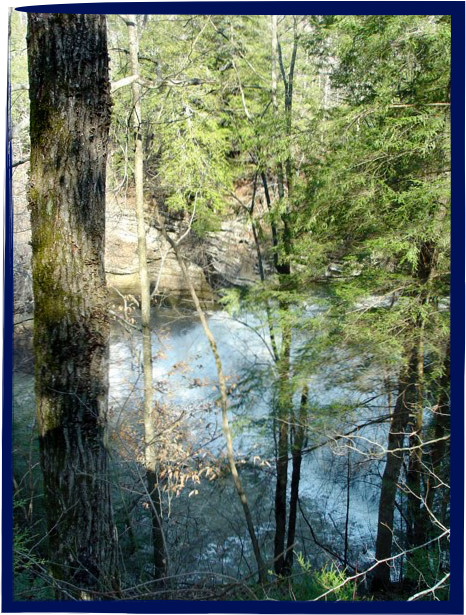
The photo shows how much higher
than the river the trail has climbed.

The photo shows how much higher
than the river the trail has climbed.
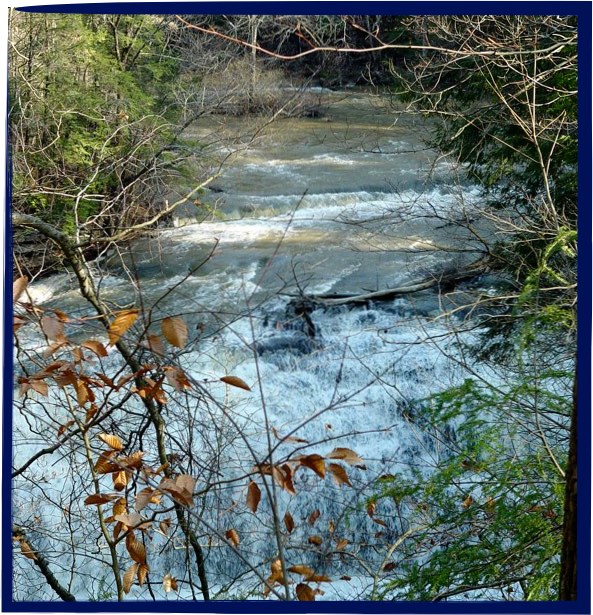
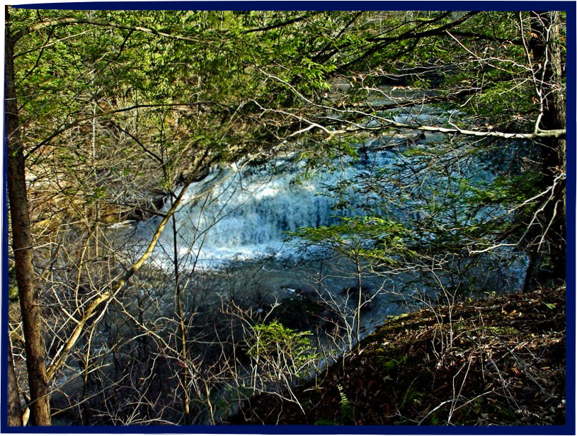
Following the river, the trail makes a wide curve to the right as you
near the middle falls. At certain points along the path you lose sight
of the river for brief periods. So, as with many waterfalls, you hear
the middle falls before you see them through the trees on your right.
2
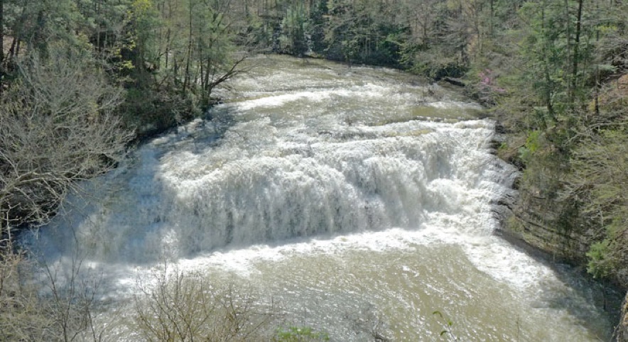
The hiking trail is exquisitely designed to take advantage of a
sharp bend in the river where they have located an overlook
in just the perfect spot that allows you to see the falls dead
on, as though you were on a bridge spanning the river itself.
Although the hiking trail is more
scenic, it is a bit rugged as well.
There is an alternate route to the big
falls along a smooth gravel road that
takes one directly from the parking
lot to the big falls. You still have to
travel uphill, and you are out of sight
of the river, but the slope is more
gradual and the footing is even.